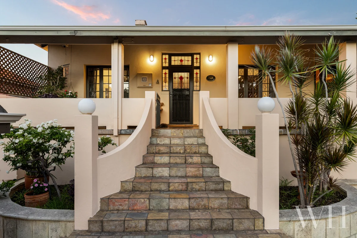
30 Daly Street
AI Property Assistant
Instant insights — ask StMate AI anything about this property
Based on recent comparable sales in South Fremantle
AI Property Assistant
Ask anything about this property
Property Insights
Multi-dimensional analysis · last updated 06/05/2026
Schools
7 nearby schools
Catchment: South Fremantle Primary School
Zoning
R20 — Residential (R20)
City of Fremantle Local Planning Scheme No. 4
Public transport
Data unavailable
Traffic
Moderate congestion
Morning and evening peak hours (7-9am, 4-6pm) experience increased traffic on Canning Highway and South Terrace as commuters travel to/from Fremantle CBD and Perth. Local residential streets remain relatively unaffected.
Flood risk
Medium
South Fremantle is located in the lower Swan-Canning river system and experiences medium flood risk due to its proximity to tidal estuarine influences and historical storm surge/riverine flooding. While Western Australia has less comprehensive state-wide flood overlay mapping than eastern states, properties in this locality should be assessed for both riverine and coastal/tidal inundation hazards. Local development approvals typically require flood risk assessment under WA Planning Commission guidance.
Bushfire risk
Low
BAL: BAL-LOW
Crime profile
average
Trend: stable
Nearby development
5 projects nearby
South Fremantle is experiencing incremental urban renewal driven by proximity to Fremantle's CBD, the Swan River foreshore, and South Fremantle train station. Development activity focuses on medium-density residential infill, heritage adaptive reuse of industrial sites, and public realm improvements linked to transport accessibility. The area's transformation reflects broader Fremantle Port City strategy balancing heritage conservation with residential intensification and waterfront activation.
Heritage
Heritage listed
South Fremantle is an inner-city heritage precinct with strong Victorian and Edwardian-era character, part of the broader Fremantle heritage conservation area. Many properties are subject to WA Heritage Council listings or local council heritage overlays due to the suburb's significant colonial and convict-era history. Development is tightly controlled to preserve the area's architectural and historical integrity.
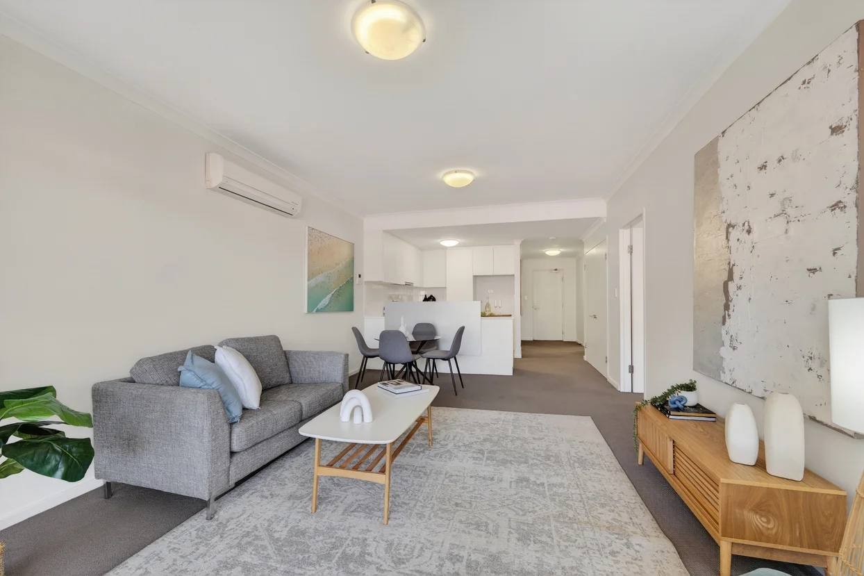
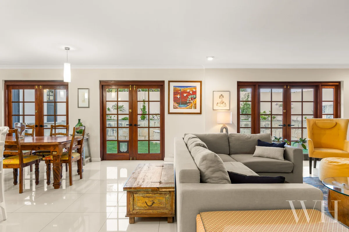
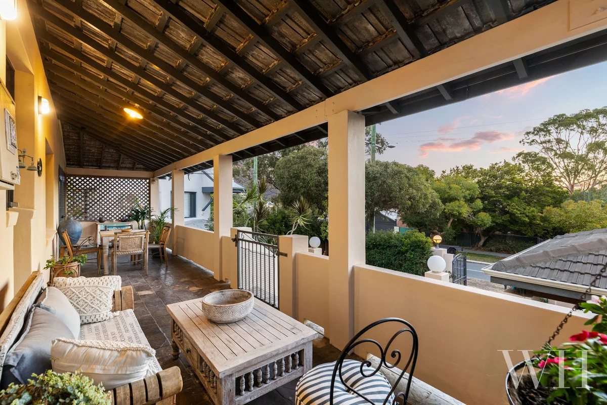
Property Photos
Property Features
Location & Nearby
Approximate location shown. Contact agent for exact address.
AI Neighbourhood Insights
Property Report
Traffic, zoning, flood risk & more
Property Details
- Property Type
- house
- Listing Type
- For Sale
- Bedrooms
- 3
- Bathrooms
- 2
- Parking
- 2
- Land Area
- 570m²
- Listed
- 2 days ago
Within 5km